
Global Positioning System (GPS) has become an indispensable technology. From time-saving use cases in navigation to life-saving applications in the military and security, it’s hard to envision a life without it.
However, the GPS we use today didn’t come into existence overnight. It is the product of decades of innovation and scientific refinement, much of which stemmed from military inventions during the Cold War. What started as a top-secret project has evolved into a civilian necessity, underpinning everything from smartphone apps to autonomous vehicles.
In this guide, we’ll take you through the GPS timeline. We’ll explore when GPS was invented, its early concepts, technological advancements, and future possibilities so you have a deeper appreciation of the technology that is such a key element of our day-to-day lives.
The Early Concepts of Navigating and Positioning
Before GPS became a thing, humans navigated the earth using many techniques. These methods traversed centuries, cultures, and vocations, paving the way for grander, more useful inventions.
Celestial Navigation and Ancient Methods
In ancient civilizations such as Egypt, Greece, and Polynesia, humans put ancient bodies at the heart of their navigation efforts.
- The Egyptians, for example, relied on the North Star, or Polaris, to guide them through the night.
- Similarly, in Greece, humans meticulously studied the sun's position and began to use this to pinpoint direction.
- As for the Polynesians, they’d closely follow the trio of stars, ocean currents, and wind patterns when partaking in long-distance voyages across the Pacific.
While effective, celestial navigation has its drawbacks. Weather conditions like storms or cloud cover can obstruct the view of stars, causing navigational errors.
The Chinese invented the compass in the 11th century, marking a pivotal moment in maritime navigation. In the 18th century, John Harris invented the chronometer, allowing sailors to accurately measure time at sea. This tool made it possible to calculate longitude and determine position even on the vastest oceans.
Radio Navigation and Pre-GPS Systems
Fast forward to the 20th century, and the need for more accurate navigation became more apparent. The expansion of commercial and military aviation spurred this need.
Radio navigation systems, such as LORAN (Long Range Navigation), were first developed during World War II. LORAN facilitated more accurate and reliable positioning over greater distances, which ships and aircraft found particularly useful. The system worked by triangulating signals from a series of fixed radio transmitters.
The Decca Navigator System, invented in the UK in the early 1940s, was another early attempt to improve navigation.
Although these systems were revolutionary, they still had considerable limitations. They required physical infrastructure on land or at sea and could not provide the global coverage needed for broader navigation.
The Birth of Satellite Navigation Systems
The concept of satellite-based navigation emerged during the Cold War. Nations desperately sought more precise and reliable methods for military navigation, missile guidance, and global positioning.
Sputnik and the Doppler Effect (1957)
In 1957, the Soviet Union launched Sputnik 1, a first-of-its-kind artificial satellite. As Sputnik orbited the Earth, scientists realized that tracking its position and motion was possible. They used the Doppler effect, a change in the frequency or wavelength of a wave about an observer.
When Sputnik transmitted radio signals back to Earth, the frequency of those signals changed based on whether the satellite was moving toward or away from ground receivers. This frequency shift allowed scientists to calculate the satellite's actual position in orbit.
Transit System – The First Satellite Navigation (1960s)
Despite the mammoth efforts of scientists throughout the Cold War era, it wasn’t until the early 1960s that the first operational satellite navigation system – the Transit system – was released. The U.S. Navy was the mastermind.
Originally designed for submarine navigation, the Transit system used satellites in orbit to determine the position of submerged vessels. While groundbreaking, the system had shortcomings, including slow update rates and limited global coverage. Its relatively poor accuracy also highlighted the need for a more sophisticated solution.
The Need for a More Advanced Global Positioning System
The Transit and other early satellite navigation systems were good enough for many use cases in the mid-20th century. But as history has proven, “good enough” can only suffice for so long. By the 1970s, military and civilian leaders recognized the need for a more advanced, precise, and global positioning system.
Enter GPS.
The Invention of the GPS – Key Developments
Here are the key moments surrounding GPS’s development.
1973 – The GPS Program is Officially Born
In 1973, the US Department of Defense (DoD) officially launched the much-anticipated GPS project, NAVSTAR GPS.
The goal of this groundbreaking project was just one: to create a global network of satellites that could provide continuous and accurate positioning data. As part of the program, 24 satellites were carefully positioned in six orbits around the globe. The result? Better, far-reaching coverage and highly accurate navigation.
Dr. Brad Parkinson, known as the “Father of GPS,” played a fundamental role in the development of the system. His leadership and concise vision helped steer the project from its infancy to the full-fledged system we know today.
1978 – The First GPS Satellites Are Launched
Five years after work began, the first experimental GPS satellites emerged. They were successfully launched into orbit, and their main job was to test the system's ability to calculate positions accurately, reliability, and the feasibility of satellite-based navigation.
1983 – Civilian Access to GPS after Korean Airlines Flight 007 Incident
The history of GPS isn’t without controversy. In 1983, Korean Airlines Flight 007 was tragically drowned by the Soviet Union after it accidentally entered its airspace due to navigational errors.
The incident sent shockwaves worldwide. In response, then-US President Ronald Reagan announced that the GPS would be publicly available once it was fully operational.
This decision marked the beginning of GPS’s transition from a system solely meant for military use to one civilians could freely utilize.
1993 – GPS Becomes Fully Operational
The system was officially operational a decade after the deadly Korean Airlines incident. A full constellation of 24 GPS satellites drove its functionality, meaning that users could begin to fully rely on GPS navigation from planes to cars, boats, and even on foot.
2000 – The Removal of Selective Availability and the GPS Evolution
A pivotal, history-altering moment came in 2000 when President Bill Clinton ordered the immediate removal of “Selective Availability” – a policy that intentionally degraded GPS accuracy for civilian users.
With this adjustment, GPS became vastly more precise. Over time, the system found its way into smartphones, vehicles, and tracking systems — consumers simply couldn’t live without it.
The Evolution of GPS Technology
Since GPS became widely available, the system has consistently improved.
GPS Accuracy Improvements (2000s – Present)
The start of the new millennium saw the inception of additional technologies to enhance GPS accuracy further.
Two technologies, WAAS (Wide Area Augmentation System) and DGPS (Differential GPS) helped to improve GPS precision by correcting signal errors caused by atmospheric conditions, satellite positioning, and other factors.
The Development of GPS III Satellites (2018 – Present)
If the ever-changing tech realm has taught us anything, no invention is ever static. GPS is no exception.
In 2018, the US launched the latest generation of GPS satellites. Their stand-out benefits are improved accuracy, longer lifespans, and anti-jamming capabilities.
Even in the toughest environments, this new batch of GPS satellites thrives. Signals are stronger than ever, providing the kind of positioning accuracy previously possible only in movies.
International GPS Alternatives and Enhancements
The US isn’t the only country boasting a top-tier navigation and positioning system; other countries do. Collectively, these systems are known as global navigation satellite systems (GNSS), which complement and enhance the accuracy of GPS.
These include:
- GLONASS (Russia) – Russia’s global navigation satellite system, provides positioning services similar to GPS.
- Galileo (Europe) – The European Union’s Galileo system offers precise positioning and is compatible with other global navigation systems.
- BeiDou (China) – China’s BeiDou system delivers global coverage and enhances positioning accuracy.
If GPS is already superbly accurate, imagine how insanely functional it could be when teamed with these systems. Well, that’s already a reality. Cumulatively, the four systems create a robust global navigation network that helps ensure greater accuracy and redundancy in positioning.
How GPS Works Today — The Science Behind It
Modern GPS is the closest thing to perfection, and that’s because the science behind it is as well-thought-out as it is executable.
GPS Satellites and Their Role
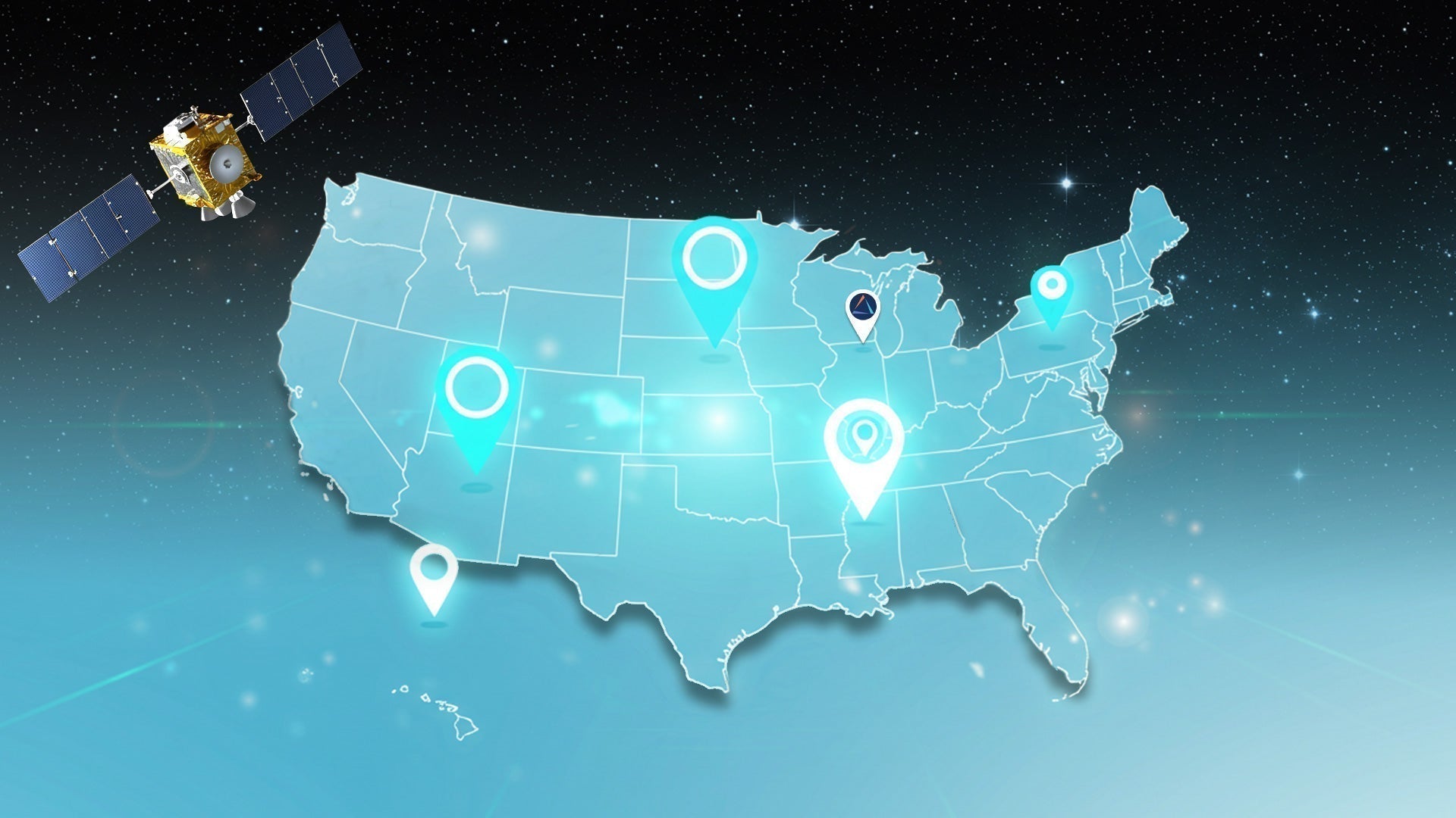
Today, not one, not ten, but a whopping 24 high-powered satellites orbit the earth. Their job? To transmit signals that allow transmitters to calculate their position through trilateration. GPS systems can accurately pinpoint a location by measuring the time signals travel from multiple satellites to a receiver.
The Role of Atomic Clocks in GPS Accuracy
Atomic clocks are the true heartbeats of GPS. Each satellite contains atomic clocks that are synchronized with clocks on Earth. These highly accurate timepieces allow GPS to work out positions based on signal time delays. Even tiny discrepancies in timing can result in considerable errors, so the precision of atomic clocks is crucial to the system's accuracy.
Modern Uses of GPS Technology
The role and impact of GPS across industries cannot possibly be understated.
- Navigation: GPS provides unerring route guidance and real-time tracking in smartphones, cars, airplanes, boats, and wearable devices.
- Security and Surveillance: GPS is the undisputed soul of geofencing and location-based alerts. Without it, tracking vehicles, assets, and people would be a toll order.
- Emergency Response: GPS technology powers search and rescue operations and emergency dispatch systems, which use real-time positioning to direct responders.
- Scientific Applications: This is the perfect example of a brainchild of science giving back to science. You love to see it! GPS has emerged as an indispensable tool in scientific research, aiding everything from weather monitoring to earthquake prediction and environmental studies.
The Future of GPS: What’s Next?
The future of GPS has never been more exciting. We’re on the cusp of new groundbreaking technologies to further revolutionize how we navigate and interact with the world.
AI and Machine Learning Integration with GPS
Scientists and engineers are exploring integrating AI and machine learning into the GPS ecosystem. These technologies allow GPS systems to optimize real-time travel routes, anticipate traffic patterns, and suggest the most efficient paths.
Quantum GPS – The Next Revolution?
Imagine a world where GPS is no longer reliant on satellites. Scientists are currently exploring this possibility with quantum-based navigation systems. If they materialize, Quantum GPS could offer unprecedented accuracy and reliability, opening up new frontiers in navigation.
Enhancements in Military and Commercial GPS Applications
The next generation of GPS technologies and satellites will position military forces in uncharted, albeit exciting, waters. Thanks to built-in anti-jamming capabilities and resistance to spoofing, they’ll enjoy reliable navigation even in the most hostile environments.
GPS advancements will also benefit commercial applications, for example, by improving navigation accuracy and helping drone flight paths become even more accurate.
LandAirSea GPS Trackers – The Best of Modern GPS Technology
What if we told you there’s already a futuristic GPS technology? Say hello to LandAirSea’s GPS trackers, rooted in cut-above reliability and boast cutting-edge features.
Whether you need real-time tracking for your car, business, or personal assets, LandAirSea’s GPS technology won’t disappoint.
Features of LandAirSea GPS Trackers
- Real-time tracking for up-to-the-minute location updates
- Geofencing capabilities to create custom boundaries for alerts
- Long battery life for continuous, uninterrupted tracking
- Compact and discreet design for seamless installation and portability
How LandAirSea Can Help
The evolution of GPS from a military tool to a consumer technology is nothing short of extraordinary. What began with the experimental launch of Sputnik 1 has morphed into a widely appreciated global system that powers cross-industry navigation, security, and innovation. With continuous advancements in satellite technology, GPS accuracy, and potential future developments, the future of navigation is as promising as ever.
Looking to harness the full power of GPS technology? Then try the LandAirSea 54, a top-rated GPS tracker that combines advanced features with reliability. GPS is our specialty at LandAirSea, and we would love to make our tracking solutions work for you. Contact us today to learn more.